After all that recreation and relaxing on the former afternoon, I was up for something more challenging. This was the day of the Going-To-The-Sun Road.
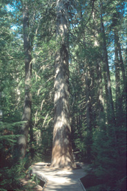
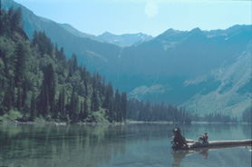
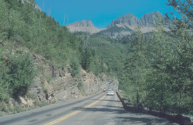
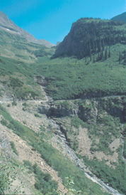
Well, the guy in the visitor center in Apgar was not too talkative about interesting, scenic hikes. He just recommended the very easy, standard tourist stuff (in my opinion): Avalanche Lake Trail and Hidden Lake Nature Trail. The Avalanche Lake Trail (combined with Cedars Nature Trail) was full of people :-( Although the lake is quite nice, it was too crowded for my liking. (2 miles, 1h to the lake, 1/2h at the lake, 40min back)Some miles behind Avalanche Lake trail head, the most impressive parts of the Going-To-The-Sun Road start. The narrow road winds along the mountain to Logan Pass. However, compared to Irish road standards, the Going-To-The-Sun Road was quite wide ;-)
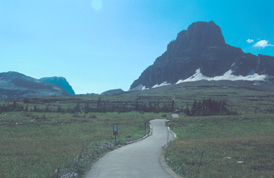
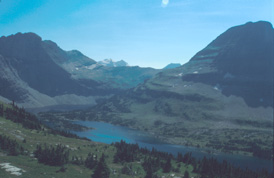
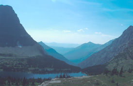
The Hidden Lake Trail was actually less exciting. Starting at the Logan Pass (2025m), it took 35min to go to the viewpoint at the trail summit. I had thought about going down to the Hidden Lake, but that looked as boring as the "trail" (which was too well-prepared with bridges and wood walks).
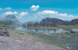
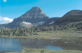
I remembered that I had seen some folks coming down along a path from the left-hand side of "trail" at the pond on the pass. Well, I considered trying this one and walked back and turned right into the faint trail. Soon, I found out that this was the trail to Mt. Reynolds (2781m). Folks were asking me whether I would go to Mt. Reynolds or to the ridge, at which's bottom I was walking - I thought ;-) After a while, I realized that this was not the case. The path went behind the next peak (the real Mt. Reynolds :-)
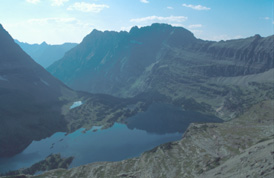
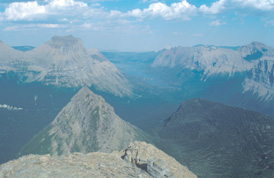
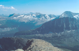
I followed the path along the backside of the mountain, left the ridge on my right, and saw some folks trying to scramble up the mountain. Ok, so this was the trail. Soon, these folks gave up and returned, but not me. The trail became steeper and some scrambling was required. First, over some rocks, then through a long field of scree (=loose gravel). Very exhausting, because it was steep and loose. Having left the scree behind, a moderate scramble started (remember the way for the return!). After the scramble, the way to the top is almost a hike. The view from the top rewards the effort (100min): You can see the whole area around Logan Pass including St. Mary Lake.
Since I was at the summit at 5pm and some guy had told me that the border would close at 11pm (actually at 10pm as I found out later...) and I was not sure how long it takes to go to Waterton, I sped up: I could slide down the scree (geeee!! - much more fun than going up!) because the trail was empty. The rest I almost jogged back to the parking lot at Logan Pass (75min - 18.15pm).
I reached Waterton at about 7.45pm. Much ado about nothing...
