It took long to make the decision for the last scramble in the holiday: Mount Crandell via Tick Ridge (moderate, 2378m, but what about the view?) or Bertha Peak (2440m, good view, but easy) or Mt. Blakiston (2920m, Waterton's highest point, moderate - looks very steep on the picture in the book [5]). Finally, Mt. Blakiston won and I wanted to give it a try. My idea: If I had found Mt. Blakiston too difficult, I could return and do Bertha Peak afterwards.
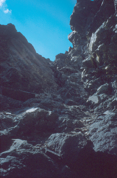
So, I drove Akamina Parkway to Lineham Falls trailhead. The hike to the junction at the avalanche run-out zone of Mt. Blakiston took 1h. From this point (1600m), the mountain did not look as hard as on the picture in the book [5] and it was clear of snow. Above tree line, I followed some steps which traced a bit further right of the right-hand gully. This led me around and over rocks and through scree. After all that toiling with the scree, I reached the final cliffs. A short scramble and then I was on the top (3h).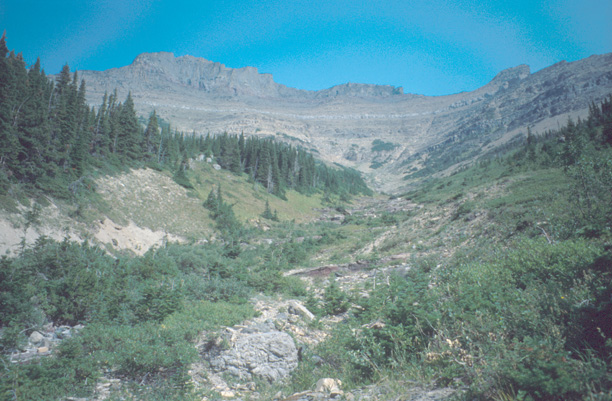
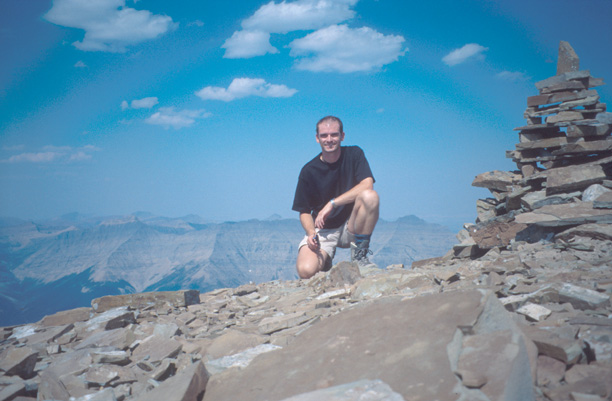
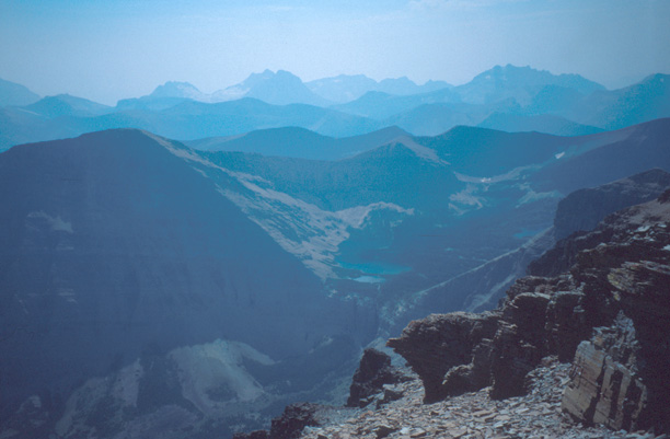
Nice view around (Plains, Waterton Lakes, Cameron Lake, peaks in Glacier National Park, Lineham Lakes, ...), but some flying ants had built a nest in the stone cairn on the summit and started flying around me. This made this scenic place very uncomfortable. After taking some pictures, I quickly left the top and had my rest somewhere below the summit with less flying insects.
The way back offered the opportunity for sliding down the scree (although there are always some rocks in-between - so, take care!). After 90min, I was back at the junction and after another 50min or so back at the parking lot.
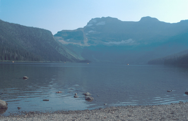
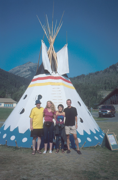
Before returning to Waterton townsite, I drove to Cameron Lake and relaxed at the lakeshore. In Waterton, I had a very nice evening and some Grasshopper's wheat beer with a really international group (Andy & Tina from Scotland, Junko from Japan, and Jen from Maryland). After an all-you-can-eat buffet (or: walk-in-and-roll-out buffet), we walked to Cameron Falls, and then to a/the saloon in Waterton. Agreed to give Junko a lift to Pincher Creek the next day.